


Global Events Observer
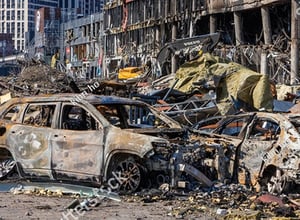
The Global Events Observer (GEO) is a disaster response platform that informs leading insurers with real-time intelligence around the impact of catastrophes using a wide-range of trusted data sources and expert assessments from military-trained intelligence analysts within the MIS team.
GEO is an intuitive web-based platform that provides a detailed digital representation of the impact of global perils, offering Exposure, Claims and Building-Level analysis to support fast and reliable decision-making at all levels of the catastrophe response cycle.
WE PROVIDE VALUE FOR
 Insurers & Reinsurers
Delivering actionable intelligence to exposure and claims teams assists them in making informed and accelerated decisions, ultimately increasing the speed of recovery and improving client satisfaction.
Request Demo Brokers
Harnessing real-time data offers valuable insights into the impact of non-modelled events, further deepening clients’ understanding of the effects of catastrophic events.
Request Demo Loss Adjusters
Providing rapid intelligence in the immediate aftermath on an event allows for effective allocation of resources and accelerated damage assessment of sites which could otherwise be inaccessible for weeks.
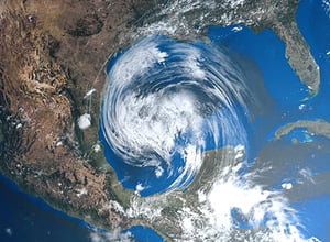
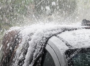
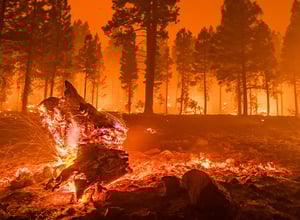
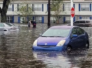
Request DemoPERILS WE COVER

Laurem ipsum speculus inte matudes inpec seleptional
Laurem ipsum speculus inte matudes inpec seleptional
Laurem ipsum speculus inte matudes inpec seleptional
Laurem ipsum speculus inte matudes inpec seleptional

Laurem ipsum speculus inte matudes inpec seleptional
Laurem ipsum speculus inte matudes inpec seleptional
Laurem ipsum speculus inte matudes inpec seleptional
Laurem ipsum speculus inte matudes inpec seleptional
Laurem ipsum speculus inte matudes inpec seleptional
Laurem ipsum speculus inte matudes inpec seleptional
Laurem ipsum speculus inte matudes inpec seleptional
Laurem ipsum speculus inte matudes inpec seleptional
.png?width=300&name=Image%20GEO%20%20(1).png)
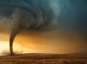
GLOBAL COVERAGE OF ALL PERILS
DATA FROM SPACE, AIR, AND GROUND INTO ACTIONABLE INTELLIGENCE
-1.png?width=300&name=Untitled%20design%20(1)-1.png)
Multispectral satellite imagery offers remote assessment of damage through pre and post event comparison, tracks areas of flooding to aid in determining causation, and maps effects of heat damage without the need for clear skies.
.png?width=300&name=Untitled%20design%20(2).png)
High resolution aerial imagery, obtained from highly reliable data providers and reviewed by NATO trained intelligence analysts, can be used to detect damage across multiple perils.
-1.png?width=300&name=Untitled%20design%20(3)-1.png)
Ultra high-resolution drone imagery is obtained by highly reliable contractors, who can be deployed at specific times to specific areas.
.png?width=300&name=Untitled%20design%20(4).png)
Vehicles fitted with ultra high-resolution cameras can be deployed to specified sites to rapidly collect ground-based imagery post event.
OUR TRUSTED DATA PARTNERS


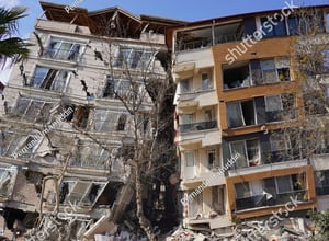
Resources: Rapid damage assessment tools demonstrate value in Turkish earthquake

MEET THE TEAM


Client Solutions Analyst

-optimised-min.jpg?width=300&name=misgeo.io_(High-Res-Screenshot)-optimised-min.jpg)